

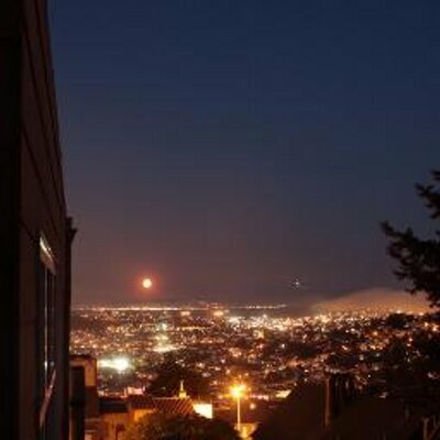
When the ice caps melt, the Seine becomes a long inlet to a flooded Paris.
The #Petrofuture of Île de France -- 66m sea level rise on a vintage 1969 Shell Oil map.
More: https://conspiracyofcartographers.com/petrofuture-france-gallery/
#ClimateArt #climateChange #maps #cartography #clifi #greenwashing #ConspiracyOfCartographers #Seine #Paris #IledeFrance

@ConspiracyOfCartographers „Take the canal to Paris“ isn’t something you want to hear in this context. @brandewinder
@ConspiracyOfCartographers @kcarruthers I love #maps — this series in particular, overlaying a possible future on top of comfortable history. It is informative and uncomfortable, which I suppose is the purpose. It turns out my somewhat jaded/overwhelmed adult children also like these maps. Thanks for posting!
There is a lot of potential for investors who are seeking to build a new "Riviera"

@mad Cruise companies salivating over the idea of TransAtlantic Cruises from NY to Paris!

@ConspiracyOfCartographers I’ve been wondering how fast estuarine sedimentation and /or beach formation is. Ingress of salty water… over time… would trigger silty deposits, eventually making a twisty river on a boggy floodplain over a buried Paris…?
But I suppose that might take a millennium.
Geology/Geography is interesting!
@dubh interesting to think about…I’d imagine the big sediment loads would come from rivers with bigger mountains as the headwaters